A Polling Districts layer is included as a supplementary file within the product. We do not routinely maintain this layer as uptake has been limited and the vast majority of areas are frozen since 2016 when information was sourced through the Boundaries Commission for England (BCE). Changes to Polling Districts are notified exclusively to BCE and OS do not receive the change information from local authorities directly.
In 2021, we completed a task for the BCE to update the following areas all of which are Operational before or on 5 May 2022:
|
Barking & Dagenham
|
Barnet
|
Barnsley
|
Basingstoke & Deane
|
|
Bexley
|
Birmingham
|
Bolton
|
Bradford
|
|
Bromley
|
Buckinghamshire
|
Bury
|
Calderdale
|
|
Corby
|
Coventry
|
Croydon
|
Doncaster
|
|
Greenwich
|
Hackney
|
Hammersmith & Fulham
|
Harrow
|
|
Havering
|
Hillingdon
|
Hounslow
|
Islington
|
|
Kensington & Chelsea
|
Kettering
|
Kingston upon Thames
|
Kirklees
|
|
Knowsley
|
Lambeth
|
Leeds
|
Lewisham
|
|
Liverpool
|
Manchester
|
Merton
|
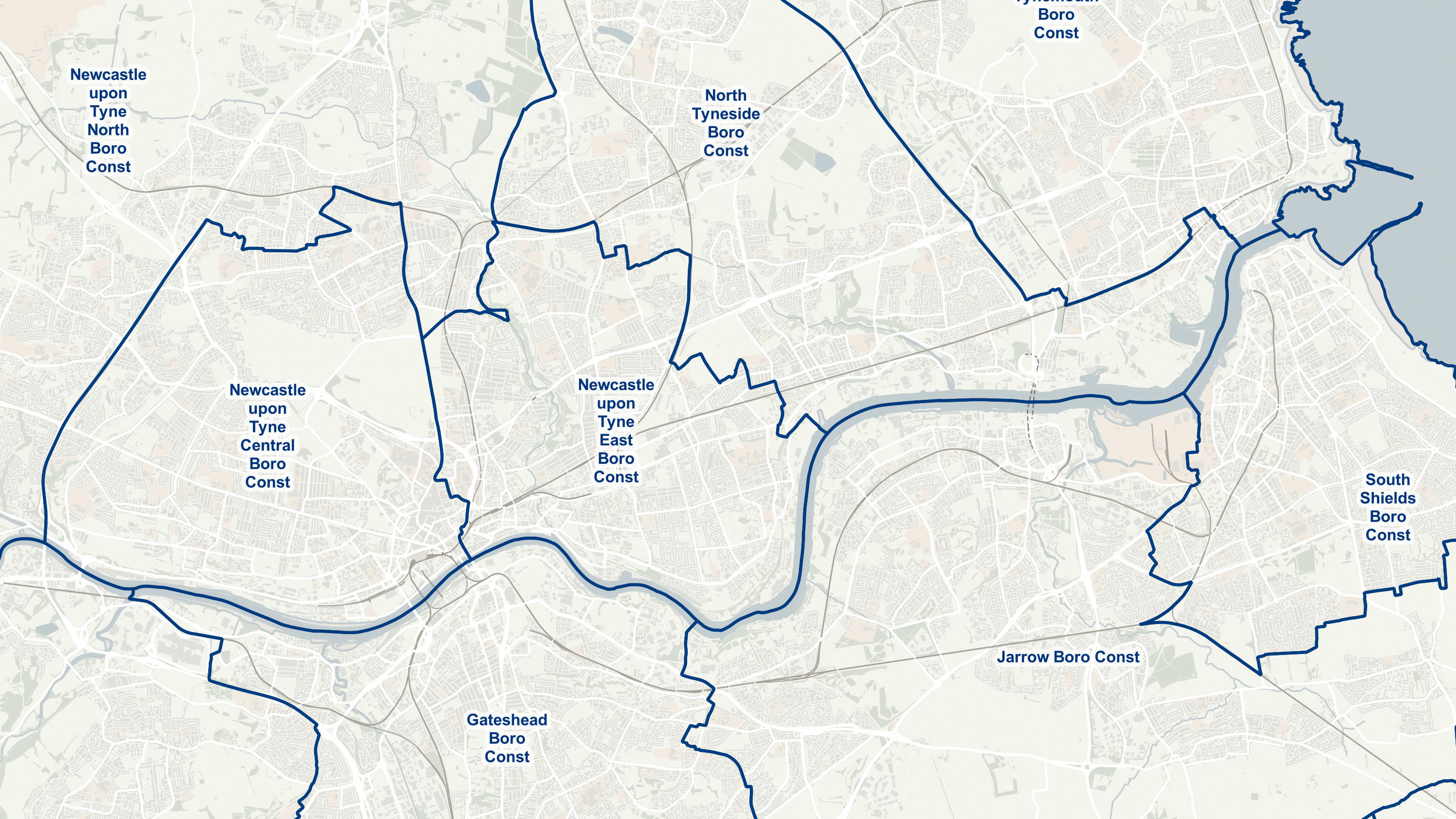
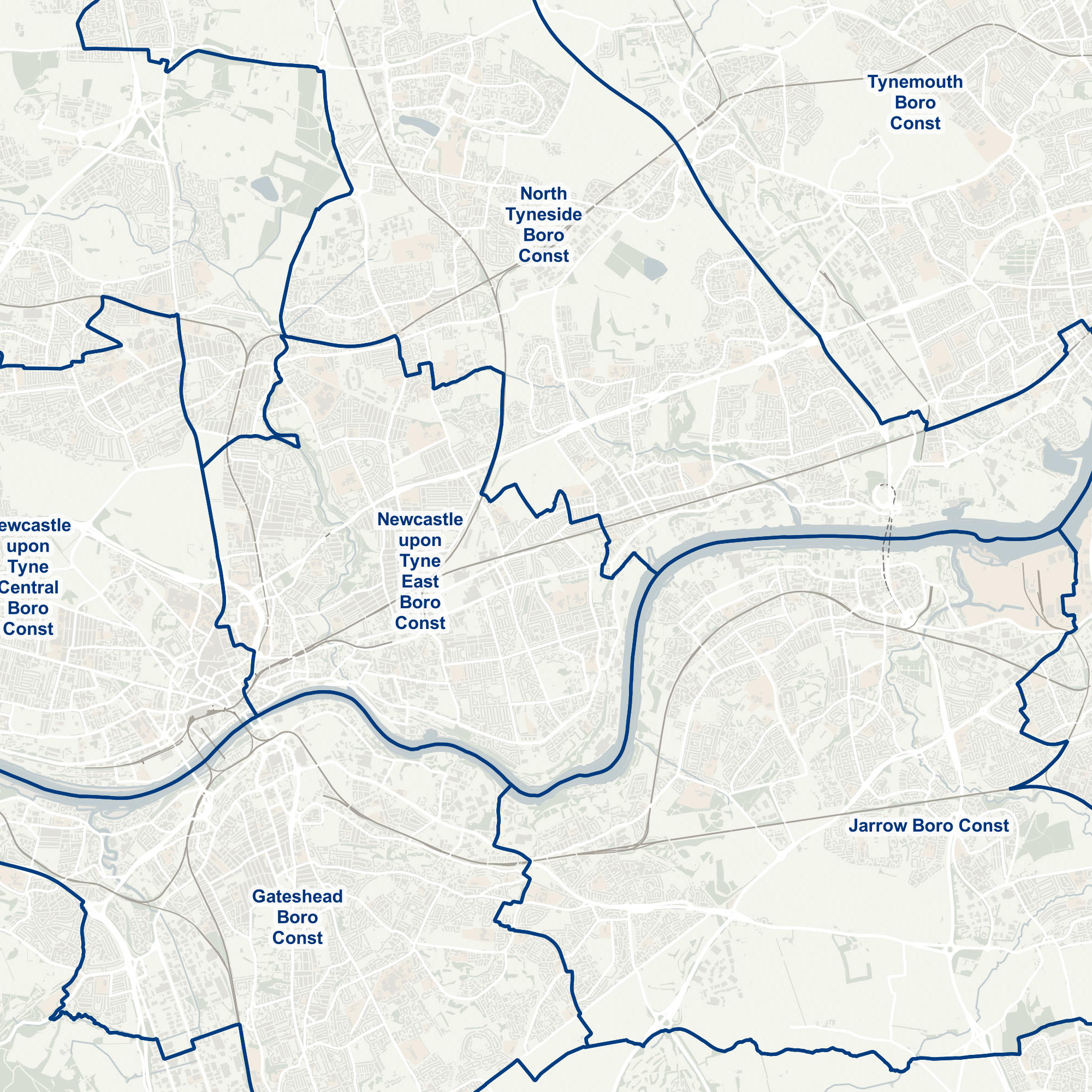
Newcastle upon Tyne
|
|
Newham
|
North Northamptonshire
|
North Tyneside
|
Oldham
|
|
Plymouth
|
Redbridge
|
Richmond upon Thames
|
Rochdale
|
|
Salford
|
Sandwell
|
Sefton
|
Sheffield
|
|
South Lakeland
|
South Northamptonshire
|
South Tyneside
|
Southwark
|
|
St. Helens
|
Stockport
|
Sutton
|
Tameside
|
|
Tower Hamlets
|
Trafford
|
Walsall
|
Wandsworth
|
|
West Berkshire
|
West Northamptonshire
|
Wirral
|
Wolverhampton
|
A polling district is a geographical area created by local authorities to assist the administrative process of running an election. Each ward or electoral division in England and Wales is divided into one or more polling districts.
In England, each parish is to be a separate polling district and, in Wales, each community should be a separate polling district, unless there are special circumstances. This means that a parish or community must not be in a polling district which has a part of either a different parish or community within it, or any un-parished part of the local authority area within it, unless special circumstances apply. Those special circumstances could arise if, for example, the parish/community has only a small number of electors and it is not practicable for the parish/community to be its own polling district
The Welsh equivalent (community wards) are also released as a supplementary data set, the Scottish equivalent are not supplied.